
價格:免費
檔案大小:34.7 MB
版本需求:需要 iOS 10.2 或以上版本。與 iPhone、iPad 及 iPod touch 相容。
支援語言:英語
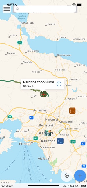
Topoguide regions gives access to all our Topoguide apps for Greece.
You can see a list of the destinations here: http://www.topoguide.gr/index-en.php
The free version of the app contains the routes of the the "O" national paths of Greece, and gives access to a demo destination: Lycabettus in Attica region.
The other destinations are sold as in-app products, and each give access to:
• Dozens of hiking and cyclings routes with descriptions and photos
• Offline topographic maps of the area

• Guidebook with an extensive introduction on the geography, the nature and the paths of the area
• Offline search for hundreds of POIs
In the field, the app identifies the nearest adventure, guides you to it and then along it by displaying messages and warnings on every junction or other important location. On each Point of Interest, photos and texts are displayed on the map. If the hiker gets off-trail, the app indicates the shorter way to get back safely.
Also, a navigation feature allows to calculate routes and distances along roads and paths anywhere on the island.
The cartographic company Topoguide, creator of the application, has issued previously hundreds of detailed hiking maps for Greece. To ensure data accuracy, all paths are walked by our team of specialists.
DISCLAIMER
During track recording, continued use of GPS can dramatically decrease battery life.
支援平台:iPhone, iPad